Virgin Islands, British
Veröffentlicht: 20. June 2022 - Letztes Update: 28. February 2025
Country Data Dashboard
Population
104,377
Growth: -0.54% (2024 est.)
GDP
$4.672 billion
(2022 est.)
Area
1,910 sq km
| Government type: | unincorporated organized territory of the US with local self-government; republican form of territorial government with separate executive, legislative, and judicial branches |
| Capital: | Charlotte Amalie |
| Languages: | English 71.6%, Spanish or Spanish Creole 17.2%, French or French Creole 8.6%, other 2.5% (2010 est.) |
People & Society
Ethnicity (2020 est.)
Religion (2010 est.)
Age structure
No image available.
Economy
Economic overview
high-income, tourism-based American territorial economy; severe COVID-19 economic disruptions; major rum distillery; high public debt; sluggish reopening of large oil refinery; environmentally susceptible to hurricanes; many informal industries
Real GDP (purchasing power parity) in Billion $
Real GDP per capita in $
Exports & Imports in billion $
Top 5 Import Partner in 2019 (62%)
Top 5 Import Commodities in 2019
- refined petroleum ⛽
- crude petroleum 🛢️
- rubber piping 🧤
- jewelry 💍
- beer 🍺
Top 5 Export Partner in 2019 (62%)
Top 5 Export Commodities in 2019
- refined petroleum ⛽
- jewelry 💍
- recreational boats ⛵
- watches ⌚
- rum 🍹
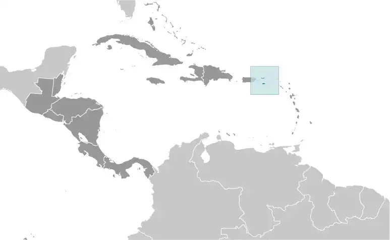
Geography
Map
Area
Natural resources
- pleasant climate 🌞
- beaches foster tourism 🏖️
Climate
subtropical, tempered by easterly trade winds, relatively low humidity, little seasonal temperature variation; rainy season September to November
Historical Background Information
The Danes secured control over the southern Virgin Islands of Saint Thomas, Saint John, and Saint Croix during the 17th and early 18th centuries. Sugarcane, produced by African slave labor, drove the islands' economy during the 18th and early 19th centuries. In 1917, the US purchased the Danish holdings, which had been in economic decline since the abolition of slavery in 1848. In 2017, Hurricane Irma passed over the northern Virgin Islands of Saint Thomas and Saint John and inflicted severe damage to structures, roads, the airport on Saint Thomas, communications, and electricity. Less than two weeks later, Hurricane Maria passed over the island of Saint Croix in the southern Virgin Islands, inflicting considerable damage with heavy winds and flooding rains.